

If you’ve ever wondered how the Earth’s continents have morphed and shifted through the ages, or even just questioned where your hometown was located millions of years ago, then you might want to check out an online tool called Paleolatitude. Originally created a decade ago, the model has just received a major upgrade, allowing users to trace the history of any spot on the planet over the last 320 million years.
Paleolatitude was built by researchers from Utrecht University in order to help bridge the gap between the disciplines of palaeobiology and palaeoclimatology. After all, in order for researchers to reconstruct the ancient climate or learn about prehistoric life based on traces found in rocks, they need to know exactly where these specimens were located at the time of their formation.
By leveraging magnetic signals in rocks from around the world, the team were able to create a tool that showed how the landmasses have moved around since the beginning of the current geological age.
Describing this approach in a statement, study coauthor Dr Bram Vaes from the CEREGE research institute explained that “the angle formed by the Earth’s magnetic field and the Earth’s surface changes gradually from the poles towards the equator and is therefore linked to latitude. And many rocks contain magnetic minerals that ‘recorded’ the direction of the magnetic field at that location when the rock was formed.”
“So, using this, we can determine at what latitude such a rock was formed.”
To upgrade the model, the researchers incorporated new data on marine magnetic anomalies that help to reveal the movements of the major tectonic plates. They also included the movements of small tectonic plates and several “lost continents” that became “folded” into mountain ranges in the Mediterranean and Asia.
For instance, the ancient landmass of Argoland broke off from Western Australia about 155 million years ago, and is now buried within the highlands of Indonesia. Likewise, an ancient continent called Greater Adria separated from North Africa more than 200 million years ago, before becoming engulfed by the mountains of the Mediterranean and the Middle East.
“For the first time, a truly global model is now available that allows you to link those rocks to their original plates, which have since disappeared into the Earth’s mantle,” said study lead Professor Douwe van Hinsbergen. “The global journey of those rocks can now also be traced,” he added.
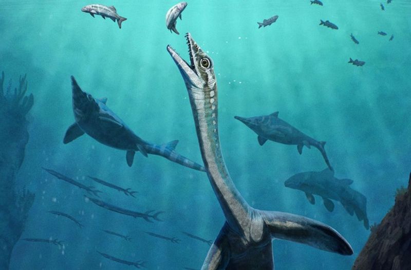
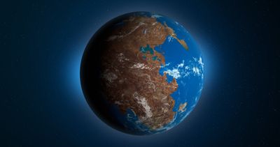
Users of the tool can select any location on Earth and find out how its latitude has shifted since the days of the supercontinent Pangaea. Existing some 320 million years ago, Pangaea included all of the major landmasses apart from Siberia and parts of China, and was surrounded by a single ocean called Panthalassa.
Beginning around 200 million years ago, though, the various continents began to move apart, eventually resulting in the separated landmasses and distinct oceans that populate the modern global map. Yet the rocks that surround us today have all been on a long journey, and didn’t always exist in their current locations.
This is particularly important for palaeobiologists who study fossils found in rocks. In order to link biodiversity to climate, these researchers need to know where on Earth these rocks were situated during their early history.
“With the new model, we have much greater certainty, and our understanding of biodiversity is shifting from one-dimensional – that is, solely over time – to three-dimensional, encompassing space as well,” said study coauthor Dr Emilia Jarochowska. “This enables us to draw important lessons for the resilience of biodiversity in the present.”
The study is published in the journal PLOS One.