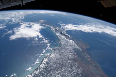
The Atlantic and the Pacific aren’t on a level playing field. But if the world’s oceans are essentially just one big, interconnected bath of water, how can one side be "higher" than the other?
Contrary to what you might assume, the Pacific Ocean sits at a higher sea level than the Atlantic. The amount can change depending on a variety of oceanic and atmospheric conditions, but the Pacific is generally around 20 centimeters (8 inches) higher than the Atlantic, according to NASA.
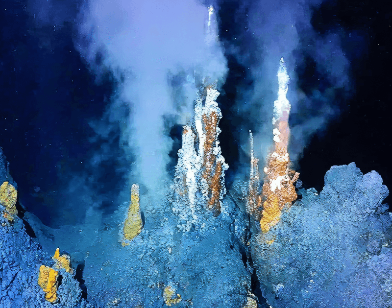
This is because Pacific waters are warmer, fresher, and less dense, all factors that can cause the water to change volume. Ocean currents, prevailing winds, and tidal forces can also push water toward continental margins, causing it to “pile up” in certain regions. On top of that, the gravitational tug of continents, islands, and even underwater seamounts subtly pulls at the ocean’s surface.
In reality, the surface of the ocean is far from flat – and we’re not just talking about waves and tides. Sea levels vary as much as 3 meters (10 feet) in places due to this complex mix of temperature, salinity, circulation, and gravity.

This unevenness of sea levels was one point of contention brought up during the planning of the Panama Canal, but it ultimately proved to be a minor concern. Far more daunting were the rugged terrain, dense jungles, and disease-ridden swamps that lay across the Isthmus of Panama. These formidable geographic and environmental challenges were largely responsible for the failure of the French effort to build the canal between 1881 and 1889.
The project was led by Ferdinand de Lesseps, the French diplomat and visionary behind the successful construction of the Suez Canal in Egypt. Expecting a similar challenge with the construction of the Panama Canal, they initially aimed to build a sea-level canal without locks, but they were gravely mistaken.
Unlike the flat sands of Suez, Panama offered a brutal mix of unstable and mountainous terrain. They couldn't simply carve a straight river through Panama; engineers had to excavate enormous amounts of earth, build complex drainage systems, and eventually devise a way to manage the mountainous terrain using dams and locks.
"The French didn't realize how massive and complex this was. It was like [joining] two different worlds,” J. David Rogers, a professor of geological engineering at the Missouri University of Science & Technology, told HowStuffWorks in 2024.
The project was ultimately abandoned as workers were continually decimated by outbreaks of tropical diseases such as yellow fever and malaria, while insurmountable engineering challenges proved to be a constant headache.
In the decades that followed, the US was emerging as a major player on the world stage and saw a huge opportunity. By 1904, they took the mantle and relaunched a project to build a navigable route through the Americas. Remarkably, it was a success.
Central to this is a complex lock system that lifts ships up to Gatun Lake by around 26 meters (85 feet) above sea level. The gates behind them close and they pass through the interior of the country, after which they’re lowered back down on the other side using gravity-fed freshwater.
Over a century after its construction wrapped up, the Panama Canal remains one of the greatest engineering feats in history – and it would have been a whole lot easier if it weren’t for that pesky geography.