

The winds of change are blowing in the eastern Pacific. Could it be the stirrings of a Godzilla El Niño?
With La Niña finally fading, climate scientists are watching the Pacific very closely. New models from the European Center for Medium-Range Weather Forecasts (ECMWF) indicate sea surface temperatures in the tropical Pacific Ocean are expected to rise sharply over the next six months. This significant temperature increase has led some early forecasts to suggest there’s a 22 percent chance of a super El Niño by August, with a 98 percent chance of a moderate event and an 80 percent chance of a strong event.
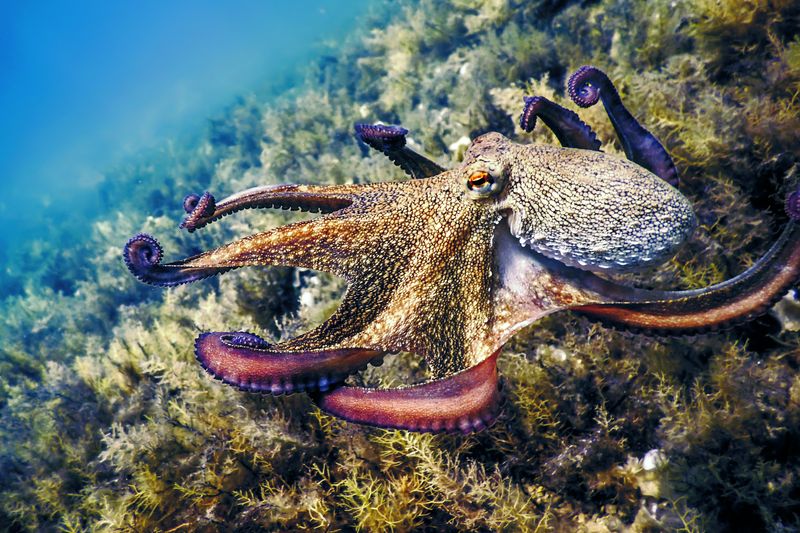
The El Niño–Southern Oscillation (ENSO) is a naturally occurring climate cycle driven by fluctuations in ocean surface temperatures and atmospheric pressure across the eastern tropical Pacific. It might sound like a regional quirk, but its effects ripple across the entire planet, influencing global temperatures, rainfall patterns, drought conditions, tropical cyclones, heatwaves, and much more.
The ENSO swings between three phases: El Niño (the warm phase), La Niña (the cool counterpart), and a neutral state in between.
During El Niño years, global average temperatures get a notable upward nudge. Weather patterns also shift dramatically: the southern US and southern Europe tend to see heavier rainfall and increased flooding risk, while northern parts of North America run drier and warmer than usual. Interestingly, El Niño suppresses Atlantic hurricane seasons because the same atmospheric conditions that warm the Pacific create wind shear that disrupts storm formation in the Atlantic. In the central and eastern Pacific, however, hurricane activity ramps up.
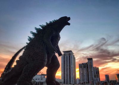
Right now, we appear to be transitioning out of a weak La Niña and heading into El Niño territory – and it could be a big one. When an El Niño event has been particularly powerful in the past, it's earned the nickname “Godzilla El Niño”. The risk of city-stomping giant reptiles remains low, but the mysterious forces at work in the Pacific are no less formidable.
The last time the world saw a Godzilla El Niño was 2015-2016, which saw very high temperatures in the eastern Pacific and, in turn, triggered a string of environmental disasters around the world.
Bear in mind that the major meteorological institutions – NOAA, the World Meteorological Organization (WMO), Australia’s Bureau of Meteorology, and others – haven't yet declared whether this year's event will be a record-breaker, although they've hinted the chances of an El Niño are rising. It's still very early in the year to predict these things with certainty. Nevertheless, they will keep a close eye on this possibility over the next few weeks and months.
“The WMO community will be carefully monitoring conditions in the coming months to inform decision-making. The most recent El Niño, in 2023-24, was one of the five strongest on record and it played a role in the record global temperatures we saw in 2024,” Celeste Saulo, the Secretary-General of the WMO, said in a statement earlier this month.
“Seasonal forecasts for El Niño and La Niña help us avert millions of dollars in economic losses and are essential planning tools for climate-sensitive sectors like agriculture, health, energy and water management. They are also a key part of the climate intelligence provided by WMO to support humanitarian operations and disaster risk management, and thus save lives,” she said.
So while the Godzilla label may be premature, the Pacific is clearly stirring. Watch this space.