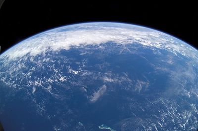


Lying deep beneath the Pacific Ocean, an immense geological superstructure has been growing since the Cretaceous period, fuelled by an area of intraplate volcanism that’s larger than Great Britain.
In a new study, geologists attempt to piece together how the so-called Melanesian Border Plateau was formed, concluding that it was formed through several different pulses of volcanism starting when dinosaurs roamed the Earth and continuing into the present day.
The sea floor is scattered with countless seamounts (underwater mountains) and ridges, as well as larger volcanic structures. It’s often assumed that underwater features like these are formed by single, somewhat sudden volcanic upsets. These events have the potential to be cataclysmic, sparking large environmental changes.
However, this recent research suggests that the Melanesian Border Plateau has a more complicated backstory. Located in the southwestern Pacific Ocean, the so-called superstructure appears to have formed over millions upon millions of years through a slow-burning genesis that unfolded in four distinct stages.
"There are some features in the Pacific basin where [scientists] have only a single sample, and it looks like a very large massive single event," Kevin Konrad, study leader and Assistant Professor at the University of Nevada, Las Vegas, told Live Science.
"Sometimes when we sample these features in detail, we realize they're actually built over multiple pulses over tens of millions of years and wouldn't have significant environmental impacts," Konrad continued.
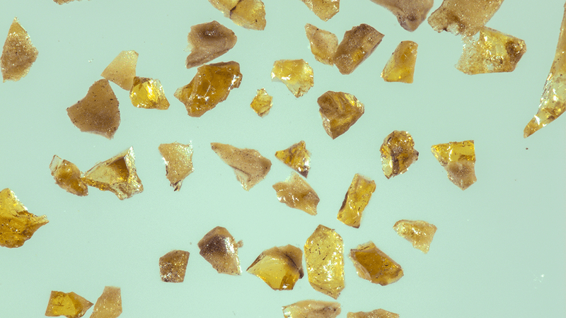
To reach their findings, the team carried out geochemical analysis on samples scooped up from the Melanesian Border Plateau region, the Western Samoa Seamounts, the Eastern Samoa Seamount Province, and the Tuvalu Seamount Chain region.
This showed that the origin of the superstructure started in the Cretaceous period around 120 million years ago with a giant outpour of lava, creating an array of seamounts.
In the second phase, between 56 million to 33.9 million years ago, the lithosphere (the outer rocky shell of Earth) passed over a volcanic region called the Arago hotspot, creating more seamounts and some oceanic islands. These islands eventually eroded away and sunk below the surface.
Thirdly, fast forward to a more recent time, the Miocene epoch (23 million to 5 million years ago). The same islands and underwater mountains were reactivated and new volcanoes were formed as the Earth's lithosphere passed over another hotspot, the Samoa hotspot. This volcanic hotspot is still creating new islands even to this day.
Finally, in a period that’s still ongoing today, new volcanic eruptions at the plateau emerged because the lithosphere had been deformed by the rollback of the Pacific plate beneath the Tonga trench.
It’s a complex story, which the researchers say will provide a more nuanced picture of how some underwater features are formed. To describe the geological products of these multi-stage events, the team proposes the term “Oceanic Mid-plate Superstructures”.
The new study is published in the journal Earth and Planetary Science Letters.
[H/T: Live Science]