Before humanity agreed on a coordinate system, navigation was a bit of a mess. It was still possible, of course, and sailors still did it, even before we'd solved the often deadly longitude problem. But countries disagreed where the "Prime Meridian" – the point at which the longitude is set at 0° – should be set.
France published maps with the prime meridian going through Paris, while China created maps with 0° going through Beijing, which was something of a nightmare for anyone wishing to navigate their way across the world. In short, most countries agreed or insisted that the Prime Meridian should run right through their own country, setting it at a convenient 0°.
At the International Meridian Conference in Washington in 1884, called by US President Chester Arthur, astronomers and representatives from 25 countries set about deciding on a universal Prime Meridian, putting an end to the confusion.
At the conference, it was noted how convenient it was to use the Royal Observatory at Greenwich in London as the Prime Meridian, where the international date line was to be set, as it passed almost entirely over water, making the negotiations a little easier as nobody but the English were happy. As well as this, nearly two-thirds of ships already used charts based on this meridian, making it less disruptive than using elsewhere.
0°... or is it?
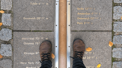
That now marks zero degrees longitude, the line running from the top of the planet to the bottom, separating east from west. If you go to the Royal Observatory in Greenwich, you can stand on a commemorative metal line that separates east from west.
Or does it? If you do go and visit the Royal Observatory and check the coordinates on your phone (please close the article and do this), you will notice that when you stand on the line you are not at a satisfying 0 degrees longitude. Instead, you will be standing at an unsightly 00°00'05.3"W.
"Today, tourists visiting its meridian line must walk east approximately 102 m before their satellite-navigation receivers indicate zero longitude," a paper on the topic explains. Unfortunately, that places it in a rather unassuming location near a bin.
Why the discrepancy? Essentially because we have become better and more precise at figuring out longitude.
When the Greenwich meridian was first worked out, it was done so using a telescope called an Airy Transit Circle. These required you to know where "down" was, or the path directly through the planet, and this is affected by the mass local to you.
"These instruments measured local sidereal time by the passage of specially designated 'clock stars' across a plane of reference established in part by the local direction of gravity," the paper continues.
"These measurements were realized with respect to the local vertical using a basin of mercury, and the astronomical latitudes and longitudes of the observatories [who used these devices] were thus affected by local gravity, because their coordinates were determined from the same observations."
Modern satellites require very precise co-ordinate data, and it is largely their fault for the discrepancy between the two meridians. Eventually, the meridian that we currently use became based on geodetic coordinates, rather than relying on astronomical methods, and the local gravity problems that involves.
"In the 19th century, telescopic observations were used to measure the size and rotation of the Earth, linking latitude, longitude and time standards to the positions of key stars," another paper on the topic explains.
"Observatories worldwide continued those measurements, gradually incorporating more sophisticated astrometric data such as radio interferometry, as well as including geodetic and atomic clock data. Optical astrometry was dropped in 1984, when the determination of latitude and longitude became essentially geodetic."
While it's better that we can precisely navigate using this better data, it does mean that the prime meridian now sits somewhere near a bin in Greenwich, rather than where the nice marker sits, at a horrible 00°00'05.3"W.