

Afghanistan has been hit by an earthquake that’s killed at least 1,000 and injured over 1,500, according to the Afghan state-run Bakhtar News Agency. That figure, however, is only set to rise as more information emerges out of rural mountain communities affected by the natural disaster.
The 5.9 magnitude earthquake occurred in the early hours of the morning on June 21, just before 1:30 am local time (8:54 pm UTC), according to the US Geological Survey (USGS).
Its epicenter was 46 kilometers (28 miles) southwest of the city of Khōst in Afghanistan, some 10 kilometers (over 6 miles) below ground.
It struck in a region close to the border of western Pakistan where tremors were also felt. Early data from the USGS suggests that moderate shaking was reported from the Pakistani capital city of Islamabad, but the level of damage is anticipated to be very light.
#Earthquake#Afghanistanpic.twitter.com/QE4rdesWFV— Bakhtar News Agency (@BakhtarNA)
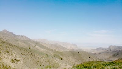
This part of eastern Afghanistan, a mountainous part of the world, is no stranger to earthquakes because it sits on an active fault line between the Eurasia plate and the India Plate. Tectonic activity can occur because the India plate is slowly moving northward by a few inches each year, colliding with the Eurasia plate, according to the USGS.
This week's earthquake follows a deadly magnitude 6.4 earthquake that occurred in October 2008 in western Pakistan, killing a total of 166 people and destroying several villages as a result of triggered landslides.
The USGS estimates that the risk of landslides currently in Afghanistan following the recent earthquake is low, but solid information is still incoming.