Nature
 PUBLISHED


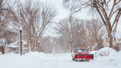


The United States is forecasted to endure the extremes of weather in the coming days as a significant coast-to-coast winter storm churns out snow, freezing rains, heavy winds, and possible flash flooding in a weather event that will see "almost all of the country experiencing some form of notable weather" according to the National Weather Service (NWS). While the winter storm ravages the West and Northern regions of the country, the East will be experiencing record-breaking temperature highs making for a confusing juxtaposition even in a place as big as America.
The winter storm is being fed by a large arctic air mass that’s swooping in from Canada (along with “super-pigs”) and mixing with other weather phenomena to create a meteorological smorgasbord of possible outcomes. Weather warnings have been issued to 22 states to warn of the various hazards that could follow.
Warm and wet air will clash with the freezing arctic air to feed widespread and heavy snowfall in parts of the country. The extremes could even topple an 1884 record for the Twin Cities near Minneapolis, reported NPR, breaking the top five snowfalls in the area.
“A wide swath of storm total snowfall over a foot [0.3 meters] is likely from South Dakota eastward through southern Minnesota, northern Wisconsin, and the Upper Peninsula/northern Lower Peninsula of Michigan,” wrote the NWS in a release today. “Snow totals may approach 2 feet [0.6 meters] in southern Minnesota. Heavy snow rates of 1-2 inches [2.5-5 centimeters] per hour and gusty winds will produce blizzard/whiteout conditions, making travel treacherous to impossible and potentially leading to scattered power outages.”
Widespread showers and thunderstorms are also forecast, reaching the Middle Mississippi and Ohio valleys and Lower Great Lakes on Wednesday. Meanwhile, Missouri, Illinois, Indiana, and southern Michigan may face flash flooding should the heavy rainfall of multiple storm systems come together in the region.
The extremes of wet and cold are thrown into even harsher contrast by the forecast for the Southern Plains, Southeast, Midwest, and Mid-Atlantic. Here, highs will see thermostats soar over 21°C (70°F).
“These highs on Thursday will be particularly anomalous for the Ohio Valley and Mid-Atlantic, where temperatures 40+ degrees above average will feel more like June than February,” explained the NWS. “Many record-tying/breaking highs are forecast, some by several degrees.”
For a full breakdown of the affected areas and further safety advice, check out the NWS website.