Nature
 PUBLISHED



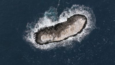


A few weeks ago, an international expedition exploring the Weddell Sea in the Antarctic stumbled on something truly unexpected. An uncharted island located in an area navigational charts simply deemed “dangerous.” The newly confirmed piece of land will soon be found in updated maps.
The Alfred Wegener Institute's icebreaker, Polarstern, has been traveling the northwestern portion of the Weddell Sea since February 8. As the onboard researchers worked, mapping the outflow of water and ice from the Larsen Ice Shelf and the retreat of ice due to the climate crisis, they were caught in rough weather conditions and decided to seek shelter in the lee of Joinville Island. It was during the retreat that the scientists encountered a new island.
"On our route, the nautical chart showed an area with unexplored dangers to navigation, but it wasn't clear what it was or where the information came from," said Simon Dreutter at the Alfred Wegener Institute, Helmholtz Centre for Polar and Marine Research, in a statement.
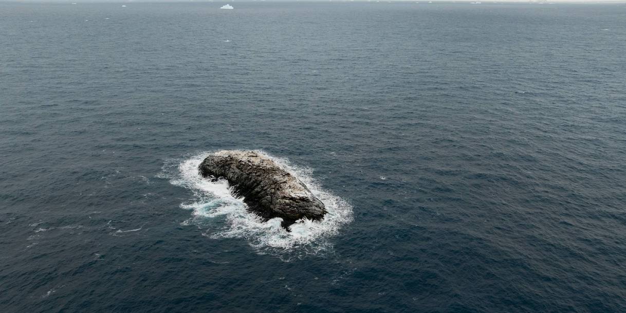
"I scoured all the coastlines we had here in the bathymetry lab and went back to the bridge. Looking out of the window, we saw an 'iceberg' that looked kind of dirty. On closer inspection, we realized that it was probably rock. We then changed course and headed in that direction and it became increasingly clear that we had an island in front of us," explained Dreutter, an expert in underwater mapping.
As far as 150 meters (492 feet) from the island, the sea floor was still at least 50 meters (164 feet) deep. Polarstern circumnavigated the island, and the scientists used drones and other instruments to measure the island and map the surrounding seafloor.
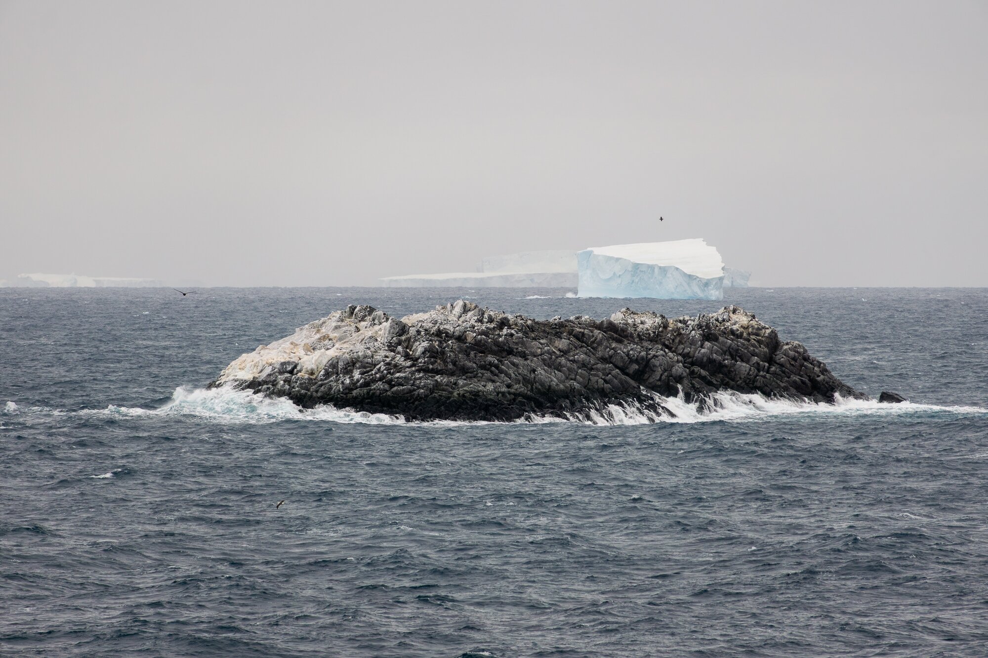
The island is about 130 meters (426 feet) long and 50 meters (164 feet) wide; its maximum height out of water is 16 meters (52.5 feet). Satellite images show that the island can’t be distinguished from nearby icebergs from space, and while it is found in certain nautical maps, it is about 1.82 kilometers (1.15 miles) from its correct location.
The next task for the team is to name it. Once named, the island can be added to the international nautical charts and other important data sets. This is important for safe navigation in the area and improved data on the geological and underwater environment in the Weddell Sea.
Back in 2014, one of the experts on board, Boris Dorschel-Herr, together with his team, discovered two underwater mountains – one in the South Atlantic and one in the Weddell Sea – and they made sure that the location and knowledge about those two objects were included in navigational charts.

 1
1