Nature
 PUBLISHED



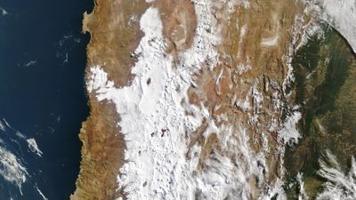


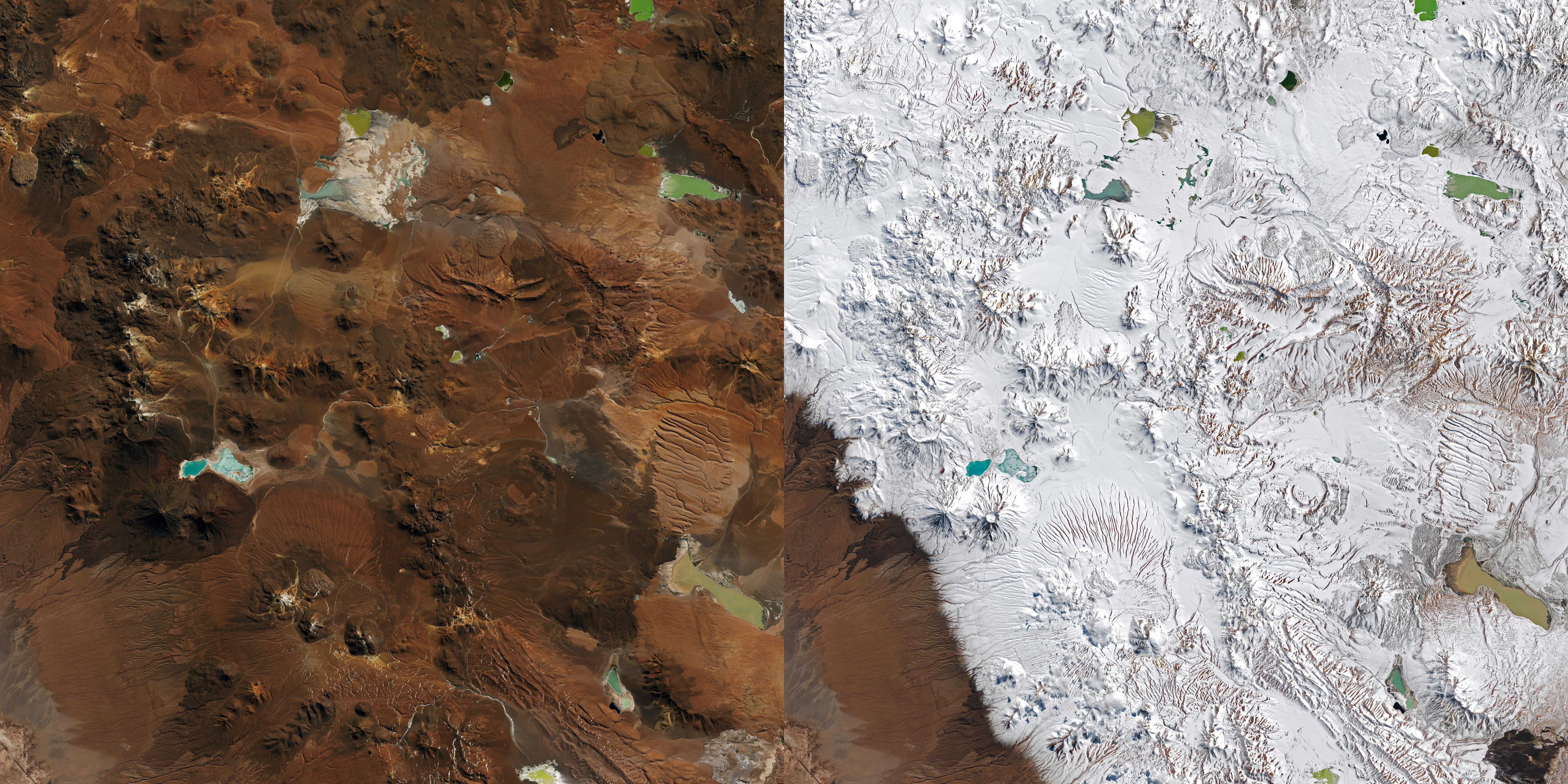
NASA Landsat images show the Atacama Desert, the driest non-polar desert in the world, transformed from a dusty wasteland into a blanket of snow amid winter storms that have caused widespread chaos and disruption in northern Chile.
The Atacama is usually extremely arid due to its position between two major mountain ranges – the Andes to the east and the Chilean Coast Range to the west – which combine to create a two-sided rain shadow.
The 1,600-kilometre-long (1,000-mile) strip of land has an average annual rainfall of just 15 millimeters (0.6 inches) per year, and some weather stations in the area have never recorded rain.
Snow in the desert
Recent exceptional weather has led to the city of Taltal, in northern Chile, accumulating nearly 40 millimeters (1.6 inches) of rain in three days in August. This is about 10 times its annual mean, René Garreaud at the University of Chile told NASA, adding “We see these kinds of events only a few times, if any, per decade.”
During El Niño, the subtropical Pacific high which normally helps to keep the region dry, weakens. That, combined with high moisture levels at the coast led to a total amount of precipitation that is “rarely seen in the otherwise extremely arid region,” said Garreaud.
This has fallen in some regions as rain, but in others as a heavy blanket of snow.
Imagers on the NASA and US Geological Survey satellites Landsat 8 and Landsat 9 captured pictures on August 6 and August 14 before and after a period of severe weather. The images show the Chajnantor plateau in the Antofagasta region of northern Chile.
The browns, oranges, and bronzes of the desert have been transformed into a striking snow scene.
Most of the winter precipitation in the Atacama region comes from phenomena called cutoff lows, which are low-pressure systems that bud off from the jet stream and can occasionally reach northern Chile, said Garreaud.
The recent storm was also produced by a cutoff low, said NASA, but this one spawned from an unusually large low-pressure system that spanned from the tip of South America to the tropics.
Due to the region's high altitude, dry air, and near-total absence of light pollution, it is a prime location for Earth-based telescopes, including the Atacama Large Millimeter/submillimeter Array (ALMA).
It 's one of the planet’s most powerful radio telescopes, but as the snow and high winds set in ALMA suspended operations, moving its antennas into a protective "survival mode," according to NASA.
This coastal region is home to a number of other observatories, including the Very Large Telescope, some of which also suspended their functions during the event.
Devastating flash floods
Since mid-July, Chile has been subjected to a frontal weather system affecting 10 of its 16 regions, which led to Chilean president José Antonio Kast declaring a state of catastrophe for the north-central region of Coquimbo.
More recently, back-to-back storms hit further north in Tocopilla, which on August 21 was also declared to be in a state of catastrophe.
Heavy precipitation – falling variously as snow or rain – has triggered flash flooding and destructive mudflows, with the Chilean National Disaster Prevention and Response Service (SENAPRED) reporting thousands affected and hundreds of homes receiving major damage. The heavy rains and flooding left 15 dead in Coquimbo in July.
In the most recent reporting IFLScience could access, SENAPRED recorded that the August storms had left 1,166 people in shelters, 580 homeless, 22 isolated, and that there had been one death and three injuries. Social media videos show cars being swept through the streets in Tocopilla due to flash flooding.
“We are living in abnormal conditions under an intense El Niño. The state's capacities have been engaged in prevention; however, rainfall levels make it impossible that there will be no affects,” deputy secretary of the interior Maximo Pavez told a news conference (translated from reporting in El País).
With the world currently in the midst of the biggest Super El Niño event in recorded history, extreme weather events are, unfortunately, only predicted to continue.