A picture is worth a thousand words, and probably just as much data. And that's perhaps no more true than this fantastic cartographic map of Mars, commissioned by Dr. Peter Grindrod, a British scientist working on the European ExoMars mission.
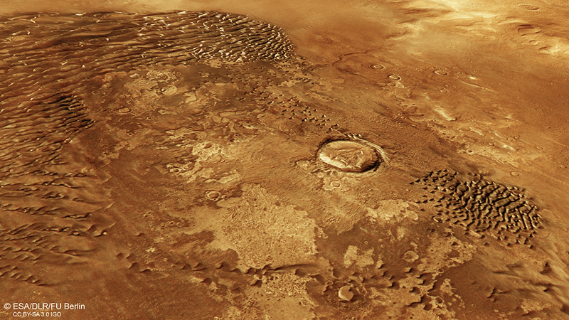
The British mapping agency Ordnance Survey (OS) took to the task and designed a detailed map of the Western Arabia Terra, an area that covers roughly 10 million square kilometers (3.8 million square miles) of the Red Planet. The map reveals a startling amount of detail on the Red Planet, from craters to landing sites of past missions.
The map shows 3,672 by 2,721 kilometers (2,282 by 1,691 miles) on Mars at a scale of 1 to 4 million. The purpose of it, apart from being a bit of fun, was to show that maps like this might be useful for future missions.
"We have set out from the start to treat the Mars data no different to how we would OS GB [Great Britain] data or any other Earth-based geographic information or landscape," said Chris Wesson, the OS cartographic design consultant for the map, in a blog post.
Wesson suggested that perhaps even future Martian explorers might make use of such maps. "It is a nice thought, that one day people could pinpoint the landscape around them from a map just as in the British countryside but the map may be quite different by then," he said.
The full map can be seen on the OS Flickr account in glorious 11574 by 9921 pixel (115 megapixels) resolution, and they even printed a special copy for Dr. Grindrod. His involvement in ExoMars, the upcoming European-Russian rover that should land on Mars in early 2019, makes these maps even more interesting. A small section of the region shown has been shortlisted as the potential landing site for the rover, somewhere between the ridges and valleys of Western Arabia Terra.