

Archaeologists have recently been snooping around an ancient fortress in modern-day Iraqi Kurdistan and believe they may have stumbled across the lost city of Natounia, an important fortified royal city that was previously only known thanks to a few coins.
The rest of this article is behind a paywall. Please sign in or subscribe to access the full content.As reported today in the journal Antiquity, excavations and aerial mapping with the help of drones have shed more light on the mountain fortress of Rabana-Merquly, one of the major regional centres of the Parthian Empire around 2,000 years ago.
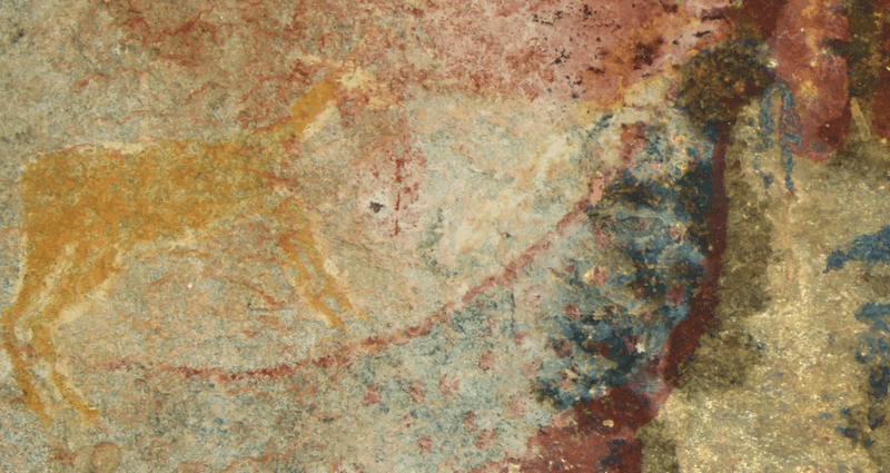
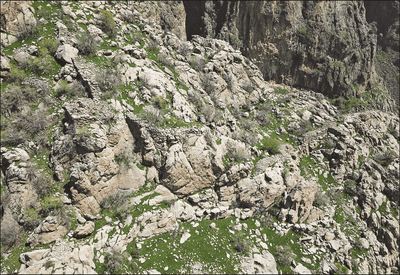
High among the hills of Mount Piramagrun in the Zagros Mountains, the team has revealed that the site is comprised not only of a 4 kilometers (2.4 miles) long fortification wall, but also two smaller settlements adorned with what may have been barracks, impressive rock reliefs, and a religious complex. The temples, they believe, were possibly dedicated to the Zoroastrian Iranian goddess Anahita.
“The considerable effort that must have gone into planning, building, and maintaining a fortress of this size points to governmental activities,” Dr Michael Brown, a researcher at the Institute of Prehistory, Protohistory and Near-Eastern Archaeology of Heidelberg University in Germany, said in a statement.

Given the apparent grandness and complexity of the settlement, the researchers now suspect that this magnificent site may be the lost city of Natounia (aka Natounissarokerta), which was dedicated to Natounissar, the founder of the royal dynasty in Adiabene, an ancient kingdom in northern Mesopotamia.
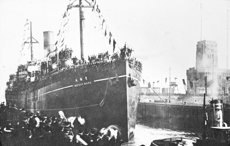
Previously, the only evidence of this city was found on a few coins dating from the first century BCE unearthed in modern-day Nusaybin in south-east Turkey (pictured above).
The researchers stress that their claims are only speculation, for now, but they believe there are some clues that Rabana-Merquly may be the long-lost city of Natounia.
First of all, there’s the dating of the city. The inscriptions on the coins suggest they may have been minted during the first half of the first century BCE, which is approximately the same time this settlement’s remains are dated to.
The study authors also argue that the place name Natounissarokerta, as well as being composed of the royal name Natounissar, contains the Parthian word for moat or fortification.
“This description could apply to Rabana-Merquly,” explained Dr Brown.

Furthermore, two rock reliefs at the gated entrances to Rabana-Merquly depict a life-size ruler in ceremonial headgear. There is no inscription to identify the man, but the archaeologists say they bear a strong resemblance to other reliefs of Parthian-era rulers, hinting it may depict Natounissar or one of their direct descendants.
The location is also a possible clue. The settlement is located on the eastern border of Adiabene, which was governed by the kings of a local dynasty dependent on the Parthians. It’s possible that the settlement became a vital outport along the outer stretches of the Adiabene royal dynasty’s domain to trade with (or perhaps keep military pressure) on the pastoral tribes found just outside the kingdom.
“Iconographic similarities between the unnamed ruler(s) depicted in relief at Rabana-Merquly and the statue of King Attalos at Hatra encourage us to argue for a reliable association between Rabana-Merquly and the kingdom of Adiabene, and, more speculatively, with the site of Natounia,” the study authors write.