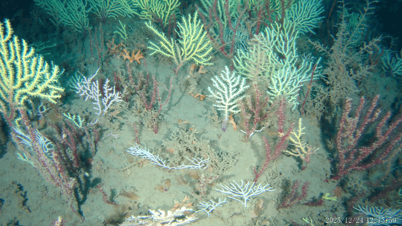


The world is currently experiencing one of the worst known El Niño events, the warming and cooling of waters off the west coast of South America that influences the development of extreme weather systems around the world. Worsened by climate change, already we’ve seen Indonesia go up in flames, hurricane Patricia given a boost, and corals in all oceans enter a global bleaching event, only the third time this has ever been declared.
Things, however, are set to get even rougher, as the World Meteorological Organization (WMO) expects that this year’s El Niño will get stronger still. This is because we still haven’t reached the peak of the event which, based on past occurrences, reaches a maximum between October and January of the following year. Judging by how things have been playing out until now, the consequences of a strengthening El Niño could be dramatic, although an increase in awareness of the event has led to greater preparation.
“Our scientific understanding of El Niño has increased greatly in recent years,” says Michel Jarraud, the WMO secretary-general. “However, this event is playing out in uncharted territory. Our planet has altered dramatically because of climate change, the general trend towards a warmer global ocean, the loss of Arctic sea ice and of over a million square kilometers of summer snow cover in the northern hemisphere. So this naturally occurring El Niño event and human-induced climate change may interact and modify each other in ways which we have never before experienced.”
How an El Niño event forms and influence global weather systems. Met Office/YouTube
Normally, trade winds move from the west coast of South America towards Australia. This has the effect of pushing warm surface water away from the coast towards Asia and Australasia, allowing deeper, colder water to come to the surface in the eastern Pacific. During an El Niño event, however, these winds are weakened, or even reversed, which means that the warm surface water is no longer trapped in the western Pacific, and is instead pushed towards South America. It is this movement of warm water that alters the wind currents over the ocean which then has knock-on effects not just locally, but globally.
Meteorologists have been using previous events, which occur irregularly every 3 to 7 years, to predict what might occur this year, but this doesn’t taken into account current changes to the weather patterns that are being driven by climate change. “Even before the onset of El Niño, global average surface temperatures had reached new records. El Niño is turning up the heat even further,” says Jarraud. Only time will tell how the current El Niño will play out, and what impact it might have globally.
Main image: NASA's Earth Observatory/Flickr CC BY 2.0