

This year, Google is marking World Oceans Day (June 8) with a very different Street View. You may want to grab your snorkel and wetsuit, we're going underwater.
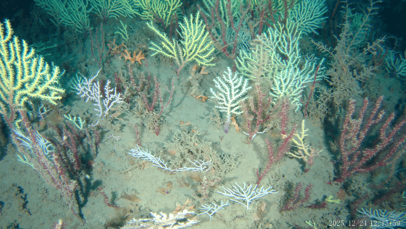
Collecting magnificent underwater photography from over 40 locations around the world—including the Great Barrier Reef, the Solomon Islands, Bali and Australia—Google has created the Street View Oceans page.
"Mapping the ocean is key to preserving it," wrote Jenifer Austin and Brian Sullivan of the Google Ocean Program on the company's official blog. "Each image in Google Maps is a GPS-located digital record of these underwater and coastal environments, which can be used as a baseline to monitor change over time. This comprehensive record of coral reefs showcases the beauty of these ecosystems and highlights the threats they face."
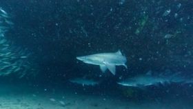
The high-definition images of the exotic sea animals are spectacular, even for those who have used Google’s Street View. Without leaving wherever you are right now, you can swim with giant sunfish, humpback whales and sea turtles.
“This World Oceans Day, we hope that you’re inspired to learn more about ocean change,” said Austin and Sullivan. “So dive into the deeps of the sea and become engaged to protect the ocean and understand how it supports us, so that all of us can better support it in return.”
The tech giant worked closely with XL Catlin Seaview Survey to confirm its mapping was accurate. If you click on XL Catlin's photographs, you can also read more about the marine environments and the many threats they face.
Launched in 2007, Google’s Street View project used special camera-mounted cars to visually map streets in the United States. Expansion over the past six years has allowed for anyone with decent Internet connection to access Street View coverage of famous landmarks around the world, the inside of train stations, or even the outside of their very own home.
Watch this Smarter Every Day video below to see how the XL Catlin Seaview Survey has helped Google map the Earth's oceans.