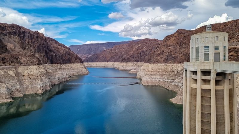


It looks like things might finally begin cooling down over the Pacific Ocean, as the near record-breaking El Niño has finally passed its peak. Despite the weather event now being on the decline, the World Meteorological Organization (WMO) has warned that it still remains strong and will continue to influence global climate and weather for several months to come. It is now thought that there is a 50/50 chance that it will be followed by a La Niña, the reverse event that will cause the Pacific to cool down.
During El Niño, trade winds across the Pacific weaken, meaning warm water that's normally pushed to the western Pacific spreads back towards the Americas, warming large tracts of the ocean. In addition, it causes rains that are normally concentrated over Indonesia to spread out. Over the past year, the event has been influencing extreme weather events seen right around the world. It has been implicated in droughts, flooding, and record temperatures across the United States, South America, southern Africa, India, Indonesia and Australia, causing food shortages and billions of dollars worth of damages.
“We have just witnessed one of the most powerful ever El Niño events which caused extreme weather in countries on all continents and helped fuel record global heat in 2015,” says WMO Secretary General Petteri Taalas. “Parts of South America and East Africa are still recovering from torrential rains and flooding. The economic and human toll from drought – which by its nature is a slowly developing disaster – is becoming increasingly apparent in southern and the Horn of Africa, central America and a number of other regions.”
While there is still some debate as to exactly how big the weather event was at its peak, it is thought to have been at least comparable in strength to the current record El Niño event of 1997-98. The WMO predicts that it will peter out during the first half of this year, but that it is too early to say for certain whether or not it will be followed by a La Niña event. If this were to develop, it will likely bring drought to the southern U.S., while causing more rain and flooding to the northern states.
But even if the worst is indeed over, we’re not out of the woods yet. The United Nation’s Food and Agricultural Organization has warned that large regions of southern Africa have seen the driest rainy season for the last 35 years, and that above average temperatures are forecast to remain, perpetuating the hot and dry conditions throughout much of 2016. This is predicted to put millions of people at further risk of food shortages. “We cannot lower our guard as [El Niño] is still quite strong and in humanitarian and economic terms, its impacts will continue for many months to come,” says Taalas.